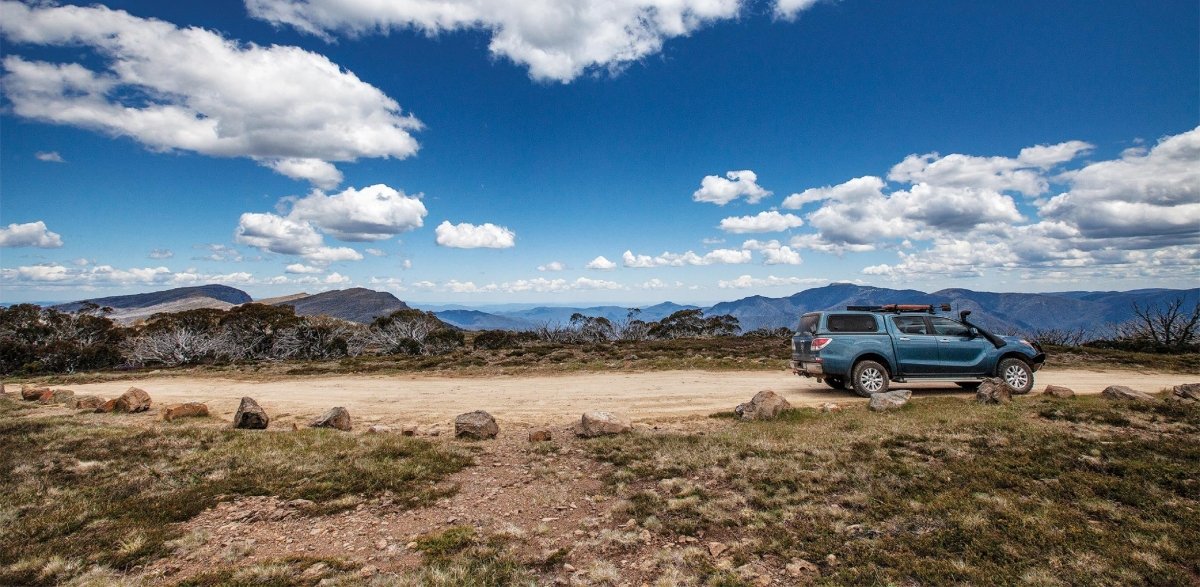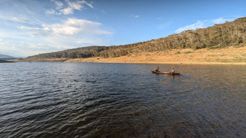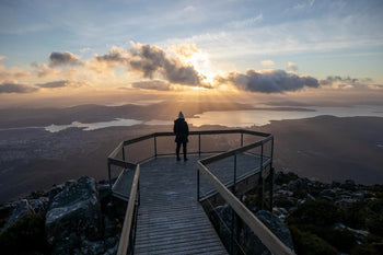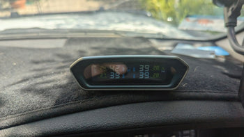

The Victorian High Country is chock full of fantastic 4WD tracks, each one offering a unique way to experience this beautiful adventurer’s playground. In part two of our Vic High Country series, we’re going to check out a great multi-track route that includes the King Billy Track and Bluff Track.
The Vic High Country is home to some of Australia’s most challenging, rugged and adrenaline-inducing 4WD tracks in Australia. In the first part of this series we followed the iconic Wonnangatta (Zeka Spur) Track, Billy Goat Bluff Track and Blue Rag Range Track.
In this article, we’re heading on a 105km drive west from Howitt Plains towards Lake Eildon, with some great back-to-back 4WD tracks. And the best part of this route is that it can be easily accessed after completing the drives we covered in part one of the series.
Featuring King Billy Track, Bluff Track and Bluff Link Road, this route showcases some of the Vic High Country’s most beautiful views, with varying terrains, deep valleys, great huts, campgrounds and various tracks (or multi-day hikes) you can explore along the way.
We’ll be following the route west, starting at the Mount Howitt Carpark (a short drive from the end of the Zeka Spur Track) and heading west towards Lake Eildon, which is another outdoor wonderland in its own right.

Best time of year for a Vic High Country 4WD trip
The Vic High Country is an alpine region and many areas and roads experience seasonal and weather-related closures every year. The seasonal closures fall roughly between the King’s Birthday long weekend in June and the Melbourne Cup long weekend in November, but these are subject to change depending on track and weather conditions.
We’re still in the early weeks of the Vic High Country being open for the 2024–2025 season, so now is the perfect time to start planning your next 4WD adventure. But always check the Parks Victoria website for the most up to date information on road closures before you set out.
What to know before you go

When we say the Vic High Country can be challenging, we’re not kidding. This region is home to some of Australia’s most beautiful and difficult 4WD tracks, and it’s important to factor in your experience level, vehicle capabilities, weather conditions and what gear is essential (i.e., recovery equipment, reliable navigation and comms devices). If you're after a paper map as a backup to your devices, check out 'The Victorian High Country Map' by Hema Maps.
Both the King Billy and Bluff tracks are graded as medium and will require a low range 4WD with decent tyres. The terrain can get quite rocky and there are some creek crossings along the way, which can make the tracks even trickier if the weather takes a turn for the worse.
There’s no mobile phone reception, so make sure you’ve got reliable communication devices (sat phone, UHF radios, PLB), and if you’re concerned about tackling the track alone then we recommend going with a friend in a second vehicle.
King Billy Track (15km)

King Billy Track officially begins at the Mount Howitt Carpark near Howitt Plains, but if you want to check off an iconic Vic High Country hut, then start at Howitt Hut, a 3.7km drive south along Howitt Road. This hut is a must-visit for any High Country adventure, and there’s plenty of room for camping, with some basic facilities and picnic tables available and a beautiful bush environment to soak up.
While only 15km long, King Billy Track is still quite challenging and features varying and often rocky terrain, a lot of switchbacks, deep valleys and can get almost rainforest-y in points before you climb up into sparse forests.
As mentioned, you’ll need a low range 4WD with decent tyres. This track features a lot of switchback turns which can get very steep, but there are some beautiful, sweeping views to make up for it.
The first lot of switchbacks begins within 2km of starting the track, with a short reprieve before the second ( and longer) section starts. But once you’ve completed these, it’s a meandering drive up and down through the hills, with some creek and river crossings thrown in to keep you on your toes. The weather can be bad in the Vic High Country, and if it’s been wet the water crossings can be much trickier, so take it slow and steady.
Another lot of switchbacks start at around the 10km mark, and once you’ve made it through these it’s a short distance to the intersection of Brocks Road and Bluff Track. Turn Right onto Bluff Track and the next part of the adventure continues.
Bluff Track (14km)

Continuing westwards, Bluff Track features similar rugged terrain to King Billy Track, but there are fewer switchbacks so you and your vehicle will get a bit of a break.
Lovicks Hut is a must-visit along the way. It’s just over 5km from the turn-off onto Bluff Track and is a great spot for a cup of tea and a rest (there are public toilets available). Built in 1960 by Jack Lovick and then rebuilt in 2014–2015, this cattleman’s hut is used by four-wheel drivers, hikers and horse riders alike for a spot to rest, camp surrounded by snow gums and enjoy the peace and quiet. No dogs or generators are allowed.
Once you’ve ticked off this bit of Vic High Country history, continue following Bluff Track west. There are some great scenic lookouts to enjoy along the way and spectacular views over the rugged Vic High Country landscape.
Around 6.4km along the track you’ll find Bluff Hut on the left. The original hut (built in the 1950s) burned down in the 2007 fires and has been rebuilt in 2009. There are basic camping facilities for car-based campers and hikers and offers some fantastic views of the mountains and valleys.
From here it’s a short 2km drive through dense trees to Bluff Link Road, where you can either turn left and head towards Lake Eildon, or go back the way you came.
Bluff Link Road to Lake Eildon (78km)

While this part of the route may not be an iconic 4WD track, it’s the more direct and offroad-oriented option to get over to Lake Eildon. The majority of this section of the route is graded easy, but don’t get complacent and always drive to the conditions, especially if there has been wet weather.
Once you’ve turned left onto Bluff Link Road, it’s a 10.5km winding drive through dense trees, creek crossings, steep climbs and declines before you’ll come to the intersection with Brocks Road.
Brocks Road does a bit of a 90-degree bend here, so continue straight, with Bluff Link Road becoming Brocks Road as you go (i.e., don’t turn left).
Once on Brocks Road you’ll come to an intense section of switchbacks cutting back and forth through the hills, crossing Eight Mile Creek a few times along the way.
If you’re looking for a place to rest, 8 Mile Flat Camping Area is around 8.7km from the start of Brocks Road. It’s a short detour via 8 Mile Flat Track. It’s a basic campground located near the Howqua River and is great for a picnic, vehicle-based camping, fishing, bushwalking and more.
Or just continue down Brocks Road another kilometre and you’ll reach 7 Mile Flat Camping Area, another great Howqua River flat campground that’s free and doesn’t require bookings (unless you’re travelling with a horse).
Back on Brocks Road, the road follows alongside Howqua River through the dense alpine forest for another 11.7km from 7 Mile Flat before reaching Howqua Hills Track. There are a few notable features along this 11km stretch, including more creek crossings, switchbacks, huts and campgrounds (including Sheepyard Flat) to explore if you need a break.
At Howqua Hills Track, turn left and follow it south towards Steiners Road (7.7km). Turn right onto Steiners, which winds west before it becomes Howqua River Road at the 13km mark.
It’s around this point that you can consider yourself out of the wilderness and approaching civilisation again. Continue following Howqua Road and within 6km you’ll spot where the Howqua River starts to expand into Lake Eildon.
There’s plenty to see and do around here. For somewhere unique to camp nearby, check out Camp Howqua just off Howqua River Road. Or head south to Jamieson, where’s there’s plenty of campgrounds and outdoor activities on offer.
All up, the route from Mount Howitt Carpark to the edge of Lake Eildon covers 105km.
If you can’t muster a ready-made convoy, join Hema Tours for a 4WD tag-along tour, full of adventure and discovery. Hema Tours are powered by the Adrenalin Offroad Centre, licensed commercial tour operators. Find out more here.

Things to do along the way
This section of the Victorian High Country isn’t all about four-wheel driving. As mentioned, there are plenty of places to enjoy a relaxing camping trip by the river, with fishing and bushwalking to keep you entertained for days.
For bushwalking lovers, the Bicentennial Trail (part of the Alps Walking Track) and the Mount Howitt Walking Tracks are both easily accessible along this route.
For a single day walking track, park your car at Mount Howitt Carpark and head up to Vallejo Gantner Hut, a very unique A-frame hut that was completed in the early 1970s and is surrounded by the Vic High Country wilderness. The trek up there might be arduous, but it’s worth the effort. And if you want to continue, Mount Howitt Hut is not too much farther and is worth a visit.
For a multi-day hike, veer off the Mount Howitt Walking Track onto the Australian Alps Walking Track, which will lead you past The Crosscut Saw, Mount Speculation and up to the Viking Saddle.


